S A T P A L D A

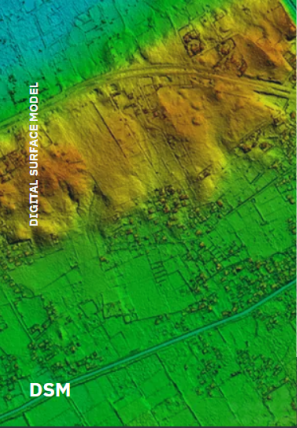
Digital surface ModelSatpalda

Explore More

3D BuildingSatpalda

Explore More

Digital Terrain ModelSatpalda

Explore More

Products

3D LANDSCAPE | UNPRECEDENTED ACCURACY

The 30 landscape is SATPALDA’s next-generation global 30 terrain dataset which provides seamless data up-to sub-meter post spacing enabling precise topographic analysis. This is a comprehensive worldwide offering that is available as a Digital Surface Model (DSM), Digital                                                                        Terrain Model (DTM), and 3D building model.

About Us
About Us

Satpalda

SATPALDA is a leading provider of satellite imagery and Geospatial services to the user community. Established in 2002, SATPALDA has successfully completed a wide range of photogrammetric and Remote Sensing Projects.
Our cost-effective solutions cater to the broad spectrum of Government and Private Users.
The USP of SATPALDA’s services is the unique blend of experience and cost-effectiveness.


Total Clients

50+

Complete Projects

100+

Total Experience

20 y

BLOG 

Blog

Our latest articles daily update

8

May

blogs

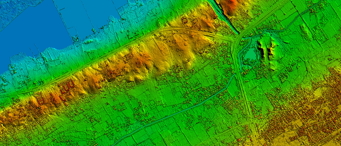
Techniques to Generate Digital Elevation Model (DEM)

A digital elevation model is a bare-earth raster grid referenced to a vertical datum. The DEM can even be obtained from stereo digital aerial imagery at various resolutions, depending on the quality and scale of the imagery. 

admin

1 Comments